

An online map from non-profit climate science organisation ‘Climate Central’ shows which areas of the UK could be underwater due to climate change by 2050.
Sea Level Rise
As highlighted in a 2021 report by Benjamin H Strauss et al, if a high emissions scenario raised global temperatures by 4 ∘C warming, this could produce an 8.9 m global sea level rise within a roughly 200 to 2000-year envelope, that could submerge at least 50 major cities!
First Unveiled In 2020
It was back in 2020 when Climate Central’ s CoastalDEM digital model and warnings that sea levels may rise between 2-7ft by the end of the century first illustrated how and why many UK coastal areas could end up submerged i by 2050. It also highlighted the point that how high the sea level rises depends on how much warming pollution humanity dumps into the atmosphere.
The Latest
Climate Central’s latest update to the model, highlighted in its new ‘Flooded Future: Global vulnerability to sea level rise worse than previously understood’ report, suggests that predictions have got worse. The report, which includes the map, explains the basic sea level rise cause, saying: “As humanity pollutes the atmosphere with greenhouse gases, the planet warms” and that “as it does so, ice sheets and glaciers melt and warming sea water expands, increasing the volume of the world’s oceans.”
However, as indicated by the new report’s title, it goes on to explain, with the help of its flooding map, that it is now thought that even if moderate’ reductions are made to the amount of human-made pollution, and with a ‘medium’ amount of ‘luck’ with weather events, vast swathes of the UK look likely to become submerged.
In fact, the report suggests that globally, by 2050, land that’s currently home to 300 million people will fall below the elevation of an average annual coastal flood and, by 2100, land now home to 200 million people could sit permanently below the high tide line. Based on the current CoastalDEM, Climate Central reports that around 10 million people currently live on land below the high-tide line.
What The Map Shows
The updated map, included in the report shows (using red markings for submerged areas), shows that by 2050, areas of the UK most likely to be affected by serious flooding and/or being completely under water include:
– London’s River Thames area (flagged as a danger zone).
– The River Severn (in the South West) either side of the estuary from Taunton up to Tewkesbury, and back to Cardiff on the northern bank.
– Large areas of the Lincolnshire and Norfolk coast, into Cambridgeshire.
– Large areas around the Humber Estuary in the North of England.
The interactive map, entitled the “Coastal Risk Screening Tool” can be viewed online here.
Challenges
Some of the key challenges to accurate predictions of submerged areas have been not knowing how much warming pollution is being dumped into the atmosphere and how quickly the land-based ice sheets in Greenland and especially Antarctica will destabilise / are destabilising. It’s also very difficult to accurately project where and when the sea level rise could lead to increased/permanent flooding, and be able to compare sea level rise against land elevations, given that accurate elevation data is generally unavailable, inaccessible, and/or too expensive
What Does This Mean For Your Organisation?
One of the many worrying aspects of global warming is around melting of the world’s ice caps and the expansion of the warmer oceans leading to a rise in sea level and serious flooding. Having a map based on up-to-date data that shows where the worst flooding could be will be a useful tool in terms of helping to raise awareness about the threat and its potential consequences and in planning to help mitigate its effects where possible.
In the UK, the fact that the Thames is flagged by the map and reported as being a danger zone has caused alarm. The effects of flooding of the kind highlighted on Climate Central’s map could range from near-term increases in coastal flooding damaging infrastructure and crops to the permanent displacement of whole coastal communities. Although many coastal areas have existing coastal defences, the Climate Central map indicates that these may not be enough to deal with future sea levels, thereby giving a serious heads-up to the need for planning and action for next steps. For example, more adaptive and expensive measures may be needed such as the construction of levees and other defences or, in the worst cases, relocation to higher ground could be the only way to lessen some of the threats.
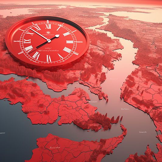
One of the key points of the report and the map is to make people understand that the amount by which the sea level will rise (and flooding will occur) depends upon how much greenhouse gasses are dumped into the atmosphere by human activity. The conclusion, therefore, must be that changing our behaviour to minimise our carbon footprint and really focusing on meeting climate targets is the only way to minimise the damage to the planet, reduce global warming, and hopefully reduce the risk of disappearing beneath the waves. Although there was a pledge at the COP28 summit in Dubai last year, to ‘transition away’ from the use of fossil fuels, many people are aware that the clock is really ticking on this most fundamental issue.